

Interlaken
Bern · Switzerland
Interlaken invites walkers and nature devotees to alpine trails and quiet shores framed by two lakes.
Interlaken invites walkers and nature devotees to alpine trails and quiet shores framed by two lakes.

ระบุสถานที่ แผนที่ และรายละเอียดทางภูมิศาสตร์จากการสแกนนี้แล้ว
บันทึกสถานที่ เพิ่มวันที่ and เปรียบเทียบเส้นทางจริงใน Wayonara
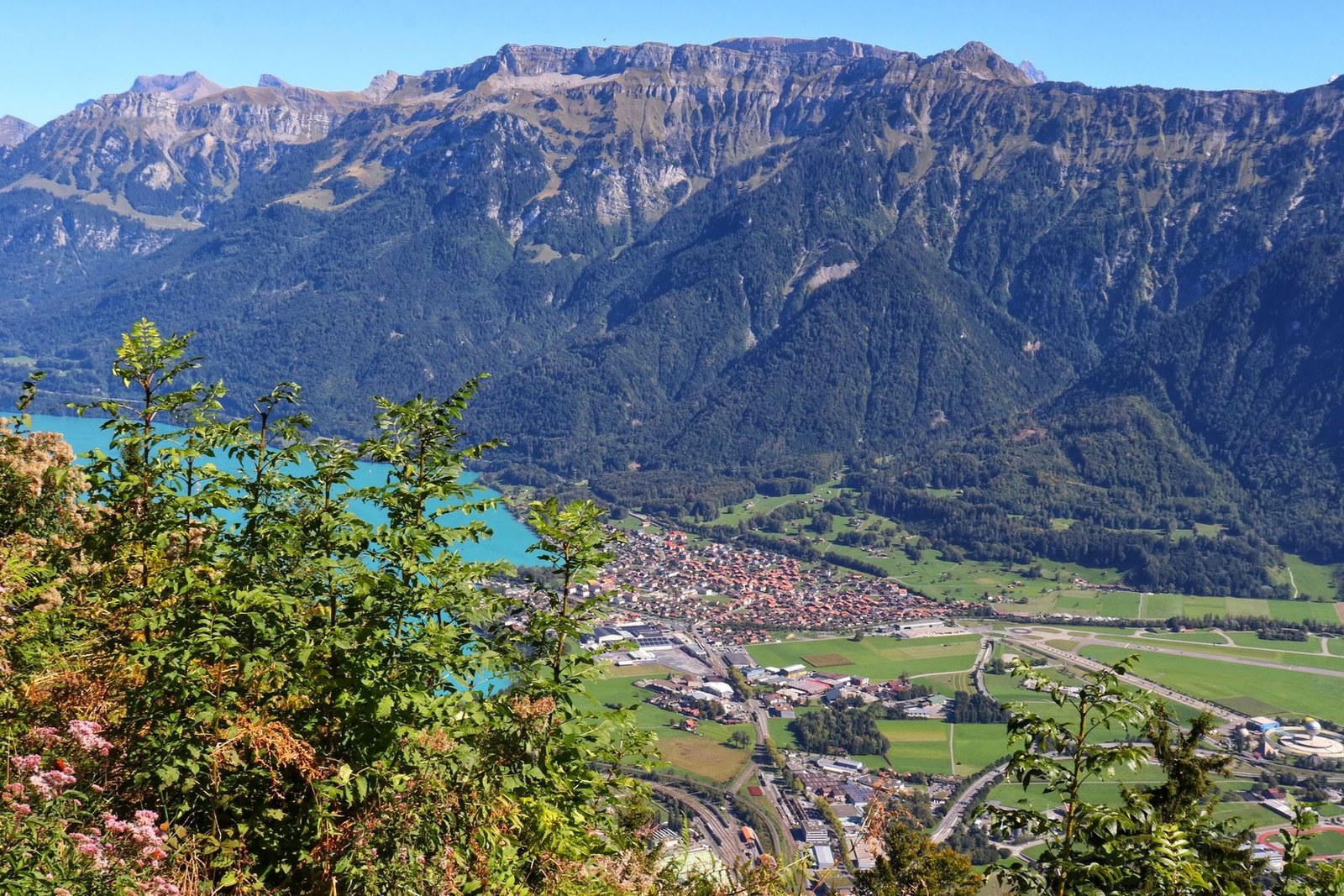
Interlaken sits between Lake Thun and Lake Brienz under the gaze of the Bernese Alps, offering routes tailored for varied daylight outings. Harder Kulm, easily reached by cog railway, presents sweeping views over the town's waterbound setting and surrounding ridges. Trails extend on forested slopes ideal for slow-paced hikes that highlight the region’s calm and clarity. Remaining close to the water's edge allows for paddling and lakeside strolls, enriching a visit through measured encounters with the natural environment. Its composition of accessible elevation and tranquil waters suits travelers prioritizing mindfulness in movement and scenery.
แชร์ตำแหน่งหนึ่งครั้งหรือระบุเมืองที่ออกเดินทาง ตำแหน่งของคุณจะถูกปัดเศษและจะไม่ถูกเผยแพร่
ราคาที่แสดงที่นี่เป็นราคาที่มีการตรวจสอบล่าสุดหรือระบุไว้ชัดเจนว่าเป็นราคาโดยประมาณ
แผนการท่องเที่ยวที่สมดุลแบ่งตามวัน พร้อมเวลาที่เหมาะสม จุดแวะพักรับประทานอาหาร และประสบการณ์ที่จองล่วงหน้าได้
Monastery and Interlaken Castle
Reformierte Schlosskirche
Festgelände Unspunnen
เวลาเป็นเพียงการแนะนำ โปรดตรวจสอบเวลาทำการและความพร้อมก่อนเดินทาง
สภาพอากาศตลอดทั้งปี
วัฏจักรภูมิอากาศ
อุณหภูมิสูงสุดและต่ำสุดรายเดือนแสดงอยู่ด้านบน ปริมาณน้ำฝนแสดงอยู่ด้านล่างเพื่อให้ดูข้อมูลตามฤดูกาลได้อย่างรวดเร็วแหล่งที่มา: Open-Meteo
รายการจัดกระเป๋าเบื้องต้นที่เหมาะกับสภาพแวดล้อมของจุดหมายปลายทาง
CHF (Fr.)
French · Swiss German · Italian · Romansh
Europe/Zurich
Type C/J
230V · 50Hz
ลิงก์แชร์สาธารณะจะแสดงเฉพาะรายละเอียดการสแกนสาธารณะเท่านั้น การสแกนส่วนตัว จุดเริ่มต้น งบประมาณ ข้อมูลทริปที่บันทึกไว้ และข้อมูลบัญชีจะไม่ถูกแสดงที่นี่ หากเจ้าของลบการสแกนนี้หรือตั้งค่าเป็นส่วนตัว หน้านี้จะหยุดทำงาน