

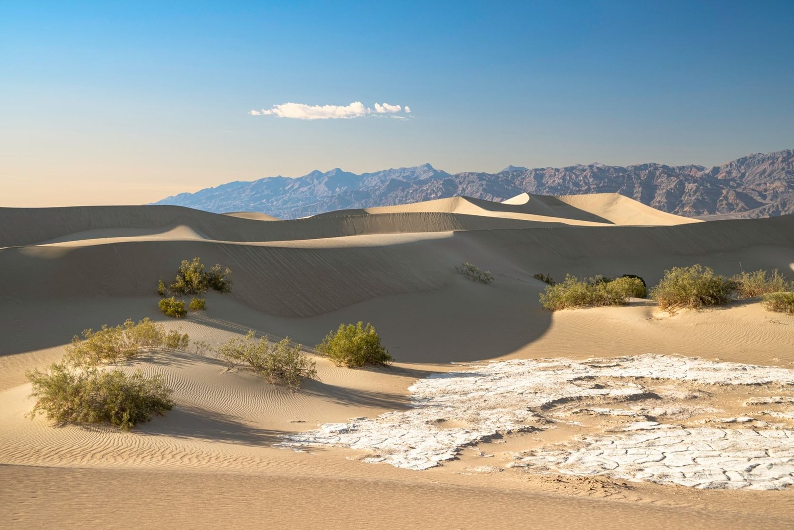
Death Valley
Inyo County · California · United States
Death Valley draws active travelers for its desert hikes and photogenic sand dunes, offering a compelling terrain for outdoor movement.
Death Valley draws active travelers for its desert hikes and photogenic sand dunes, offering a compelling terrain for outdoor movement.
ระบุสถานที่ แผนที่ และรายละเอียดทางภูมิศาสตร์จากการสแกนนี้แล้ว
บันทึกสถานที่ เพิ่มวันที่ and เปรียบเทียบเส้นทางจริงใน Wayonara
Death Valley in California presents a distinctive environment for active travel, shaped by its vast sand dunes and arid mountain terrain. The park’s open expanse invites careful route planning for hiking and road tripping amid a remote, quiet desert landscape. The sandy ridges and distant peaks provide more than striking views; they define varied terrain that hikers can explore, ranging from gentle dune walks to elevated trails. This diversity makes Death Valley relevant for those seeking hiking challenges combined with solitude. For active visitors, the extensive network of trails and roads offers opportunities to engage deeply with the desert’s natural rhythms and its distinctive quietude. The environment demands appropriate preparation, given its extreme dryness and isolation, which underpin a measured outdoor experience. Aimed at travelers prioritizing active movement, Death Valley’s combination of desert landscapes and mountain hikes marks it a notable destination within California’s national parks. Its photogenic qualities cater specifically to those who value outdoor adventure paired with a striking natural setting.
แชร์ตำแหน่งหนึ่งครั้งหรือระบุเมืองที่ออกเดินทาง ตำแหน่งของคุณจะถูกปัดเศษและจะไม่ถูกเผยแพร่
ราคาที่แสดงที่นี่เป็นราคาที่มีการตรวจสอบล่าสุดหรือระบุไว้ชัดเจนว่าเป็นราคาโดยประมาณ
มีเฉพาะสถานที่จากสแกน แผนการเดินทางเต็มรูปแบบต้องมีจุดแวะที่ยืนยันแล้วเพิ่มเติม
การเยี่ยมชมที่แนะนำ
สภาพอากาศตลอดทั้งปี
วัฏจักรภูมิอากาศ
อุณหภูมิสูงสุดและต่ำสุดรายเดือนแสดงอยู่ด้านบน ปริมาณน้ำฝนแสดงอยู่ด้านล่างเพื่อให้ดูข้อมูลตามฤดูกาลได้อย่างรวดเร็วแหล่งที่มา: Open-Meteo
รายการจัดกระเป๋าเบื้องต้นที่เหมาะกับสภาพแวดล้อมของจุดหมายปลายทาง
Use Death Valley as the destination context and choose verified regional food guides before deciding where or what to eat.
USD ($)
English
America/New_York
Type A/B
120V · 60Hz
ลิงก์แชร์สาธารณะจะแสดงเฉพาะรายละเอียดการสแกนสาธารณะเท่านั้น การสแกนส่วนตัว จุดเริ่มต้น งบประมาณ ข้อมูลทริปที่บันทึกไว้ และข้อมูลบัญชีจะไม่ถูกแสดงที่นี่ หากเจ้าของลบการสแกนนี้หรือตั้งค่าเป็นส่วนตัว หน้านี้จะหยุดทำงาน