

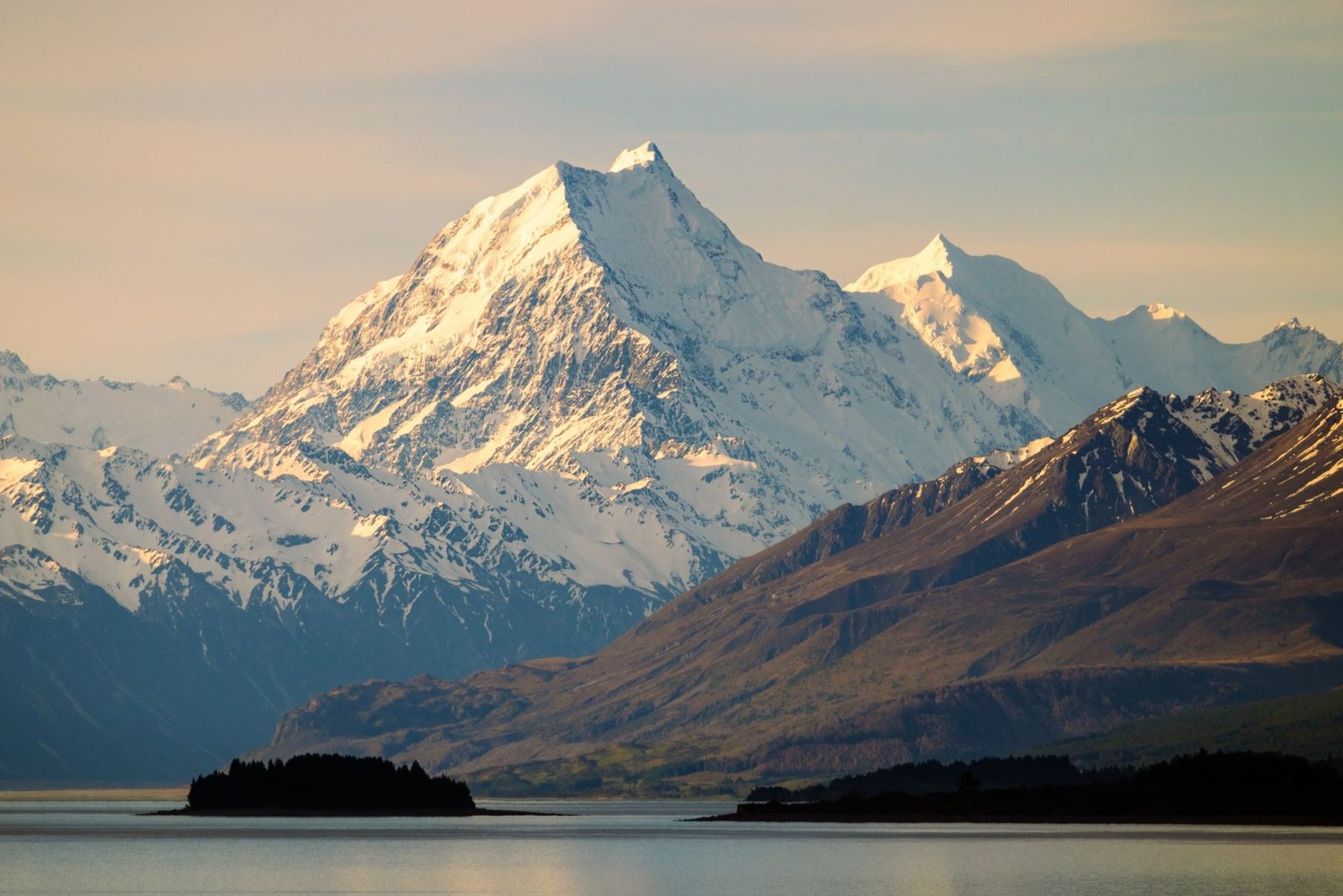
Aoraki / Mount Cook
Aoraki · Canterbury Region · New Zealand
Snow-capped peaks rise above Lake Pukaki, offering a serene setting for hiking and photography.
Snow-capped peaks rise above Lake Pukaki, offering a serene setting for hiking and photography.

تم تحديد المكان والخريطة والتفاصيل الجغرافية في هذا المسح.
احفظ المكان، وأضف التواريخ، وقارن بين المسارات الحقيقية في Wayonara.
Aoraki / Mount Cook stands as the highest peak in New Zealand’s Canterbury Region, its alpine profile etched against dramatic skies. The park’s well-marked trails invite measured hiking, with vantage points tailored for contemplative nature watching and refined landscape photography. Lake Pukaki’s calm waters reflect the mountain’s changing light through the day, best noted during sunset hours. Beyond the summit views, the setting encourages a slow rhythm—walking among native flora, breathing crisp air and absorbing the stillness that defines this national park. Activities here privilege stamina and mindfulness over speed, ideal for travellers seeking an active connection with the Southern Alps’ alpine environment.
شارك الموقع مرة واحدة أو أدخل مدينة المغادرة. يتم تقريب موقعك ولا يُشر أبداً.
الأسعار المعروض إما تم التحقق منها مؤخراً أو تم تحديدها بوضوح كتقديرية.
زيارة مقترحة
Aoraki/Mt Cook
Aoraki/Mt Cook High Peak
الأوقات مقترحة. يُرجى التحقق من ساعات العمل ومدى التوفر قبل الذهاب.
النمط المناخي على مدار العام
الإيقاع المناخي
درجات الحرارة العظمى والصغرى الشهرية في الأعلى، ومعدلات هطول الأمطار في الأسفل لقراءة سريعة للمواسم.المصدر: Open-Meteo
قائمة أساسية مختصرة لتجهيز الحقيبة بناءً على ظروف الوجهة.
Use Aoraki / Mount Cook as the destination context and choose verified regional food guides before deciding where or what to eat.
NZD ($)
English · Māori · New Zealand Sign Language
Pacific/Chatham
Type I
230V · 50Hz
تعرض روابط المشاركة العامة تفاصيل المسح العام فقط. لا يتم عرض عمليات المسح الخاصة، أو نقطة الانطلاق، أو الميزانية، أو بيانات الرحلة المحفوظة، أو معلومات الحساب هنا. إذا قام المالك بحذف عملية المسح هذه أو جعلها خاصة، ستتوقف هذه الصفحة عن العمل.