

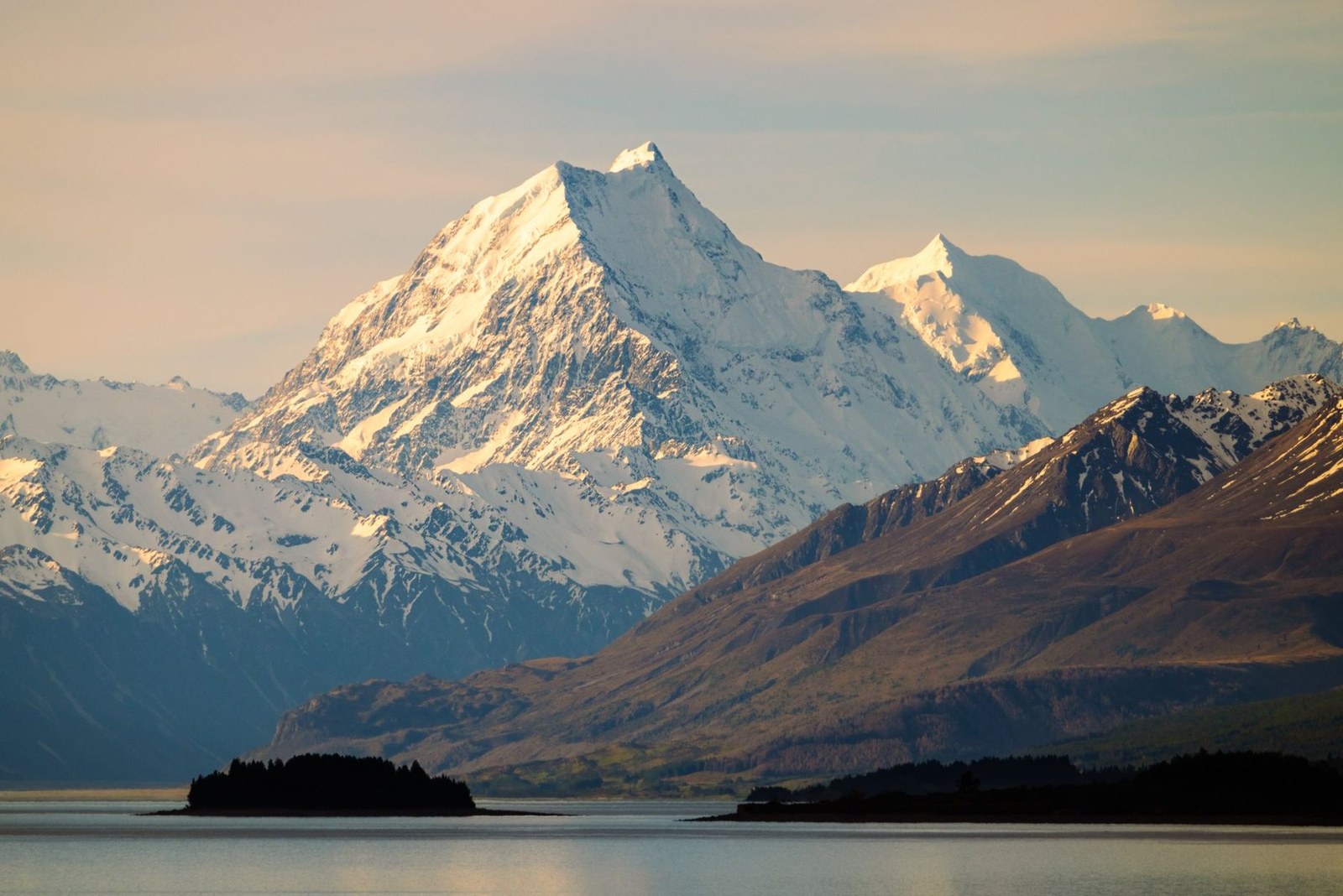
Aoraki / Mount Cook
Aoraki · Canterbury Region · New Zealand
Snow-capped peaks rise above Lake Pukaki, offering a serene setting for hiking and photography.
Snow-capped peaks rise above Lake Pukaki, offering a serene setting for hiking and photography.

מיקום, מפה ופרטים גיאוגרפיים שזוהו בסריקה זו.
שמרו את המקום, הוסיפו תאריכים והשוו מסלולים אמיתיים ב-Wayonara.
Aoraki / Mount Cook stands as the highest peak in New Zealand’s Canterbury Region, its alpine profile etched against dramatic skies. The park’s well-marked trails invite measured hiking, with vantage points tailored for contemplative nature watching and refined landscape photography. Lake Pukaki’s calm waters reflect the mountain’s changing light through the day, best noted during sunset hours. Beyond the summit views, the setting encourages a slow rhythm—walking among native flora, breathing crisp air and absorbing the stillness that defines this national park. Activities here privilege stamina and mindfulness over speed, ideal for travellers seeking an active connection with the Southern Alps’ alpine environment.
שתף מיקום פעם אחת או הזן עיר מוצא. המיקום שלך מעוגל ולעולם אינו מתפרסם.
המחירים המוצגים כאן נבדקו לאחרונה או מסומנים בבירור כמחירים משוערים.
ביקור מוצע
Aoraki/Mt Cook
Aoraki/Mt Cook High Peak
הזמנים המוצגים הם בגדר המלצה בלבד. מומלץ לבדוק שעות פעילות וזמינות לפני היציאה לדרך.
קצב עונתי לאורך השנה
דפוס האקלים
ערכי מקסימום ומינימום חודשיים מוצגים למעלה; נתוני המשקעים מופיעים למטה לקבלת תמונה עונתית מהירה.מקור: Open-Meteo
רשימת ציוד בסיסית וקומפקטית, בהתאם לתנאים ביעד.
Use Aoraki / Mount Cook as the destination context and choose verified regional food guides before deciding where or what to eat.
NZD ($)
English · Māori · New Zealand Sign Language
Pacific/Chatham
Type I
230V · 50Hz
קישורים ציבוריים לשיתוף מציגים רק פרטים ציבוריים על החיפוש. פרטים כגון חיפושים פרטיים, נקודת מוצא, תקציב, נתוני טיול שמורים ומידע על החשבון אינם מוצגים כאן. אם בעל החיפוש ימחק אותו או ישנה את הגדרות הפרטיות שלו ל"פרטי", דף זה יפסיק לפעול.