

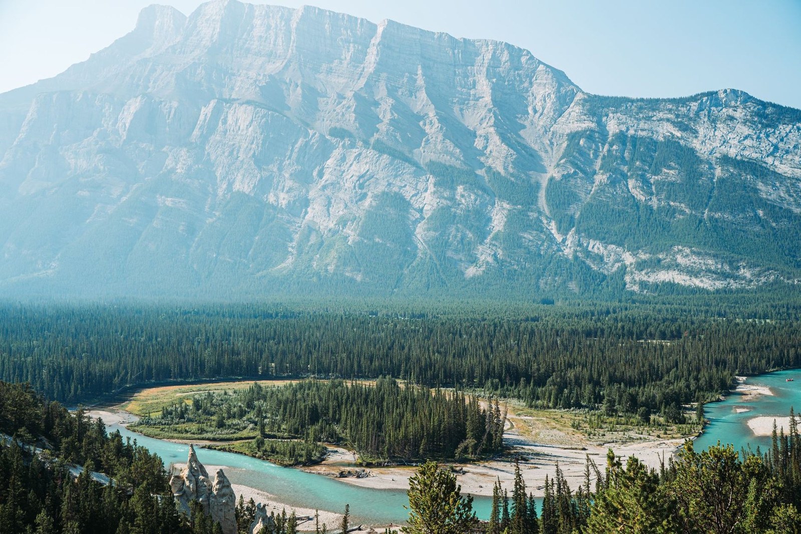
Banff National Park
Banff · AB · Canada
Banff National Park offers hikers a rugged trail network that rewards with alpine vistas.
Banff National Park offers hikers a rugged trail network that rewards with alpine vistas.
ระบุสถานที่ แผนที่ และรายละเอียดทางภูมิศาสตร์จากการสแกนนี้แล้ว
บันทึกสถานที่ เพิ่มวันที่ and เปรียบเทียบเส้นทางจริงใน Wayonara
Banff National Park’s extensive trail system, including the famous Johnston Canyon and Lake Louise loops, provides a range of distances and elevations that suit both seasoned trekkers and those seeking a more relaxed pace. The park’s Bow River corridor, winding through glacier‑kissed valleys, serves as a natural guide for hikers, offering a clear, scenic path that connects key viewpoints. For active travelers, the combination of well‑maintained trails, dramatic mountain scenery, and accessible water crossings makes Banff a compelling choice for a focused outdoor weekend. The park’s reputation for pristine wilderness and its network of marked routes ensure that visitors can plan a purposeful, immersive experience without the need for extensive preparation.
แชร์ตำแหน่งหนึ่งครั้งหรือระบุเมืองที่ออกเดินทาง ตำแหน่งของคุณจะถูกปัดเศษและจะไม่ถูกเผยแพร่
ราคาที่แสดงที่นี่เป็นราคาที่มีการตรวจสอบล่าสุดหรือระบุไว้ชัดเจนว่าเป็นราคาโดยประมาณ
แผนการท่องเที่ยวที่สมดุลแบ่งตามวัน พร้อมเวลาที่เหมาะสม จุดแวะพักรับประทานอาหาร และประสบการณ์ที่จองล่วงหน้าได้
Canada House Gallery
Central Park
Saint Mary Roman Catholic Parish
เวลาเป็นเพียงการแนะนำ โปรดตรวจสอบเวลาทำการและความพร้อมก่อนเดินทาง
สภาพอากาศตลอดทั้งปี
วัฏจักรภูมิอากาศ
อุณหภูมิสูงสุดและต่ำสุดรายเดือนแสดงอยู่ด้านบน ปริมาณน้ำฝนแสดงอยู่ด้านล่างเพื่อให้ดูข้อมูลตามฤดูกาลได้อย่างรวดเร็วแหล่งที่มา: Open-Meteo
รายการจัดกระเป๋าเบื้องต้นที่เหมาะกับสภาพแวดล้อมของจุดหมายปลายทาง
CAD ($)
English · French
America/St_Johns
Type A/B
120V · 60Hz
ลิงก์แชร์สาธารณะจะแสดงเฉพาะรายละเอียดการสแกนสาธารณะเท่านั้น การสแกนส่วนตัว จุดเริ่มต้น งบประมาณ ข้อมูลทริปที่บันทึกไว้ และข้อมูลบัญชีจะไม่ถูกแสดงที่นี่ หากเจ้าของลบการสแกนนี้หรือตั้งค่าเป็นส่วนตัว หน้านี้จะหยุดทำงาน