

South Lake Tahoe
California · United States
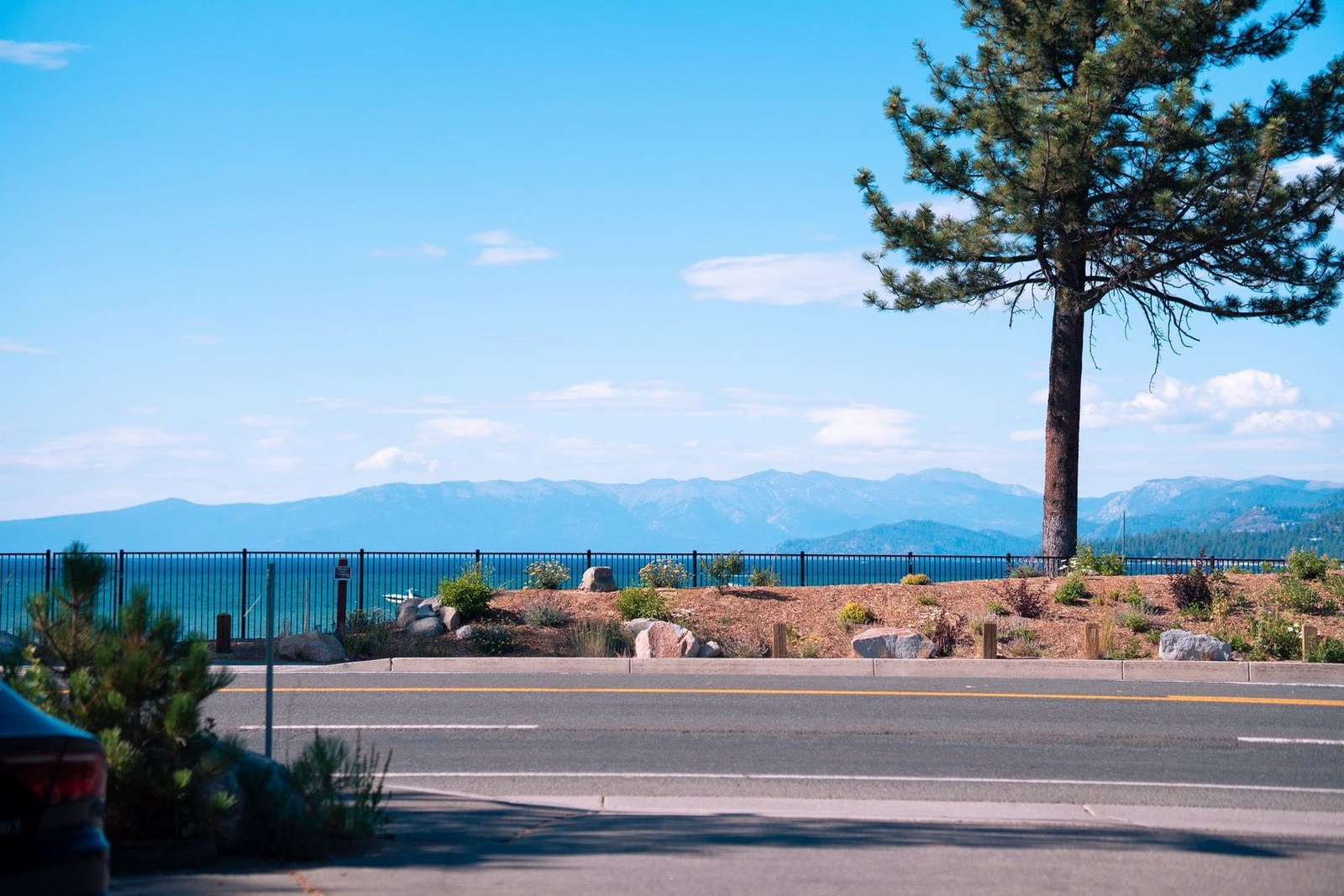
South Lake Tahoe offers a lake framed by snow‑capped peaks and dense conifer forests, a canvas for hikers and photographers alike.
South Lake Tahoe offers a lake framed by snow‑capped peaks and dense conifer forests, a canvas for hikers and photographers alike.

Place, map and geographic details identified in this scan.
Save the place, add dates and compare real routes in Wayonara.
The city’s shoreline is a clear, blue expanse that mirrors the surrounding mountains, creating a striking contrast that rewards a day of walking. Trails such as the Tahoe Rim traverse ridges that provide panoramic views of the lake and the high Sierra, suitable for a weekend of exploration. Beyond the lake, the forested foothills offer quieter paths that wind through pine and fir, inviting a slower pace and a chance to observe local wildlife. The area’s natural layout supports both vigorous hikes and relaxed strolls, making it a balanced choice for a short escape.
Share location once or enter a departure city. Your position is rounded and never published.
Prices shown here are either recently checked or clearly marked as indicative.
A balanced plan by day, with realistic timing, food stops and bookable experiences.
Keep Tahoe Blue
Tahoe Trout Farm
St. Theresa Catholic Church
Times are suggested. Check opening hours and availability before you go.
Year-round rhythm
Climate rhythm
Monthly highs and lows above; rainfall sits below for quick seasonal reading.Source: Open-Meteo
A compact packing start based on destination conditions.
Freshly caught trout from the lake, often pan‑fried or grilled, showcasing the region’s pristine waters.
Locally smoked salmon, a staple of the Sierra culinary scene, served with dill and lemon.
USD ($)
English
America/New_York
Type A/B
120V · 60Hz
Public share links only show public scan details. Private scans, origin, budget, saved trip data and account information are not shown here. If the owner deletes this scan or makes it private, this page stops working.