

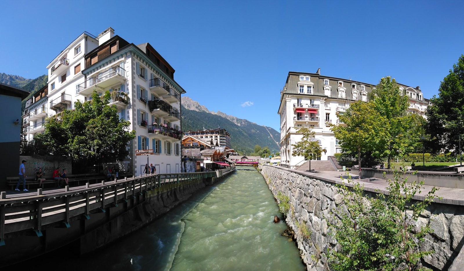
Chamonix
Rhone-Alpes · France
Chamonix works for active travellers who match route, terrain and recovery time to the day’s real conditions.
Chamonix works for active travellers who match route, terrain and recovery time to the day’s real conditions.

इस स्कैन में पहचानी गई जगह, मैप और भौगोलिक जानकारी।
जगह सेव करें, तारीखें जोड़ें और Wayonara में असली रूट की तुलना करें।
Chamonix lies in the Arve valley below the Mont Blanc massif, where a compact town base connects to forest paths, cable-served viewpoints and serious high-alpine terrain. Those options differ greatly in exposure and required skill, so a day here should begin with a precise objective rather than a broad idea of going into the mountains. Choose explicitly between a valley walk, a maintained mid-level trail and a high-altitude outing; mechanical uplift shortens access but does not replace fitness, acclimatisation or technical competence. Choose the day’s main effort from the route length, ascent and technical surface, then identify a shorter line before setting out. Warm up at an easy pace, schedule food and water before fatigue, and separate transport time from activity time. One well-completed objective gives more value than several rushed additions. Active travellers get more from Chamonix by choosing one primary objective and a shorter fallback. Build the day around terrain, elevation and recovery time, then add viewpoints or town stops only if energy remains. This keeps the outing athletic and satisfying while avoiding an itinerary that depends on perfect conditions. Check the selected trail, lift and mountain forecast on the day. Glaciers and high routes require appropriate equipment and experience, often a qualified guide, and conditions in town do not describe conditions above.
एक बार लोकेशन शेयर करें या निकलने का शहर डालें। आपकी लोकेशन को राउंड-ऑफ़ किया जाता है और कभी पब्लिश नहीं किया जाता है।
यहां दिखाई गई कीमतें या तो हाल ही में चेक की गई हैं या साफ़ तौर पर अनुमानित बताई गई हैं।
सुझाई गई यात्रा
The place itself
A nearby food stop selected to fit naturally into the route.
समय सुझाए गए हैं। जाने से पहले खुलने का समय और उपलब्धता देख लें।
साल भर का पैटर्न
मौसम का पैटर्न
ऊपर महीने के हिसाब से अधिकतम और न्यूनतम तापमान; मौसम की जानकारी आसानी से समझने के लिए नीचे बारिश का डेटा दिया गया है।स्रोत: Open-Meteo
डेस्टिनेशन के हालात के आधार पर ज़रूरी सामान की एक छोटी लिस्ट।
EUR (€)
French
Europe/Paris
Type C/E
230V · 50Hz
पब्लिक शेयर लिंक सिर्फ़ पब्लिक स्कैन की जानकारी दिखाते हैं। प्राइवेट स्कैन, शुरुआती जगह, बजट, सेव किया गया ट्रिप डेटा और अकाउंट की जानकारी यहाँ नहीं दिखाई जाती। अगर मालिक इस स्कैन को डिलीट कर देता है या इसे प्राइवेट कर देता है, तो यह पेज काम करना बंद कर देता है।